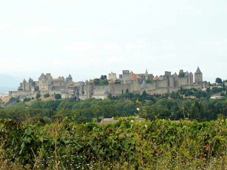
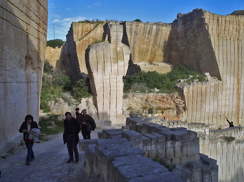
The separation between City and Landscape was very clear in the Middle Ages: the city stopped and the landscape began, as in Carcasonne. This was the relationship in Europe, India, China and elsewhere. Twentieth century cities learned to sprawl. The city centres were dense enough, but the suburbs often had too much wasted land and the surrounding countryside was littered with so many lumpy buildings that it came to be called Nowhere Land.
So what should we do in the twenty-first century? Some of the problems are (1) putting limits on city size has proved impossible (2) poor people always want to move to cities from the countryside (3) rich people, in Europe and America want to move from city centres into the countryside.
My answer to the question at the head of this post is: define greenspace as ‘landscape infrastructure’ in advance of city expansion. McHarg-type landscape assessments should be made of the land around cities and long-term designations should be made to create an extensive web of land on which no building will ever be allowed. My guess is that the web will be based on (1) the existing pattern of rivers, streams and ditches (2) skyline ridges. Urban edges should be defined on the margins of this future greenweb and these margins will become the future equivalent of medieval city walls.
The IFLA student competition on Urban Boundaries is a welcome contribution to the debate.
Photograph of Carcasonne, courtesy John Wesley Barker.
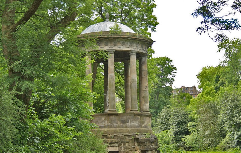
The Earl of Moray's Pleasure Ground, in Edinburgh is an excellent example of a greenway with an urban edge (just visible on the skyline)
Image of St Bernards Well in Edinburgh courtesy Jonny Ho

